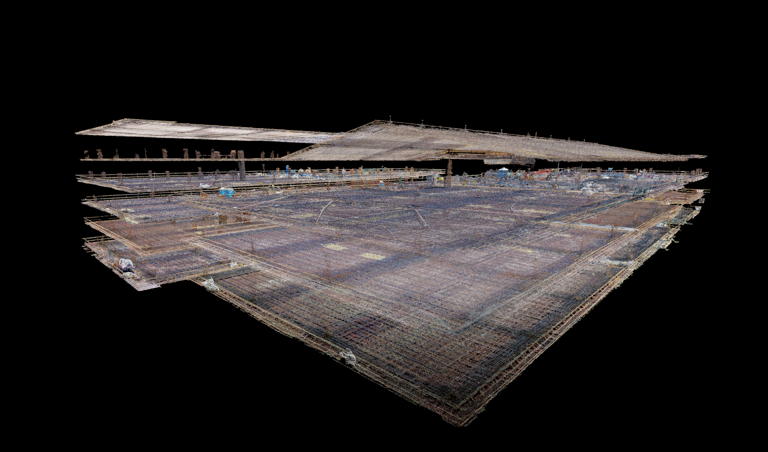
High-Resolution documentation
As-built documentation and progress images for construction companies looking for highly accurate, hi-resolution and actionable deliverables for making on-site measurements, verifying asset placements and planning.
BD Aerial is currently working on projects in Oregon, Washington, Colorado and California and starting many projects in other states this year (and overseas). Learn how this service can save your project time and money during construction and for the lifetime of the structure.
Aerial high-resolution photo, video and point cloud documentation for industrial customers. BD Aerial provides high resolution photographs, video and point clouds of utility assets - no matter where they are located.
Companies can use the deliverables for a wide range of tasks, such as pre-construction site analysis, construction progress reporting, as-built documentation, asset management, vegetation encroachment, marketing, and governmental reporting compliance.
BD Aerial provides clients with surface models, geospatially corrected aerial images, contour maps, planimetric features, and volumetric surveys. The combination of photogrammetry and LiDAR allows for colorized point clouds and premium deliverables. LiDAR is the preferred deliverable for bare-earth surveying in vegetated areas, and photogrammetry is becoming most popular on hard surfaces where vegetation penetration is not necessary.
FAA CERTIFIED AND APPROVED
BD AERIAL IS OFFICIALLY APPROVED TO FLY UNMANNED AERIAL SYSTEMS COMMERCIALLY WITHIN THE UNITED STATES.
ALL PILOTS ARE FAA LICENSED AND OPERATE WITH FAA REGISTERED AIRCRAFTS.


